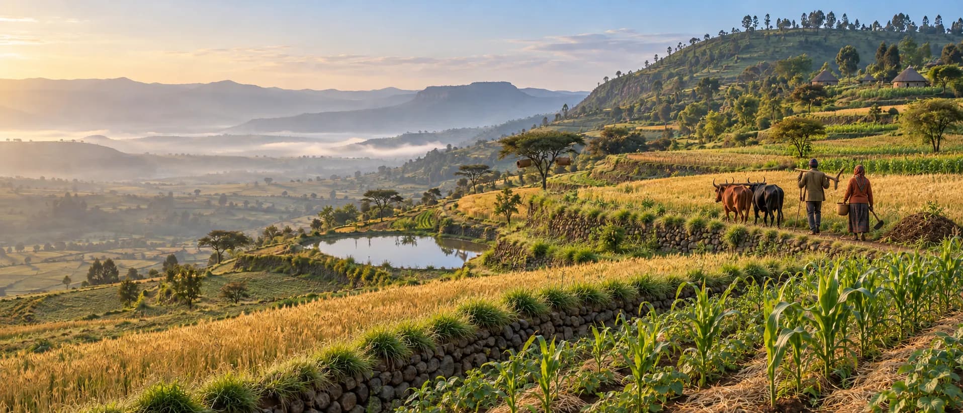
Field evidence · Geospatial context · Transparent ranking
Practice advice for Ethiopian farms, ranked by field evidence.
Drop a pin, name the challenge and the goal. AgroEcoAdvisor ranks agroecological practices by their measured effect in contexts like yours and shows the studies behind each one.
The evidence base
How it works
Three steps from pin to practice
Set the location
Drop a pin or type coordinates. Rainfall, soil, terrain and the agro-ecological belt are read from the geospatial layers automatically.
Choose the challenge and objective
Pick one of five challenge families and the outcome you want to change.
Review the ranked practices
Practices are ordered by the strongest evidence for your area, from the field-trial model or published field studies, each with its source, the studies behind it and a cited explanation.
Under the hood
Models and studies rank. Retrieval explains. Every number has a source.
Four layers turn a map pin into advice you can check. Each number comes from the field-trial model or a published study, never from the AI writer.
- Layer 1
Geospatial context
An 11-layer, 250 m raster stack reads rainfall, temperature, altitude, slope, soil and growing period under the pin and places it in its agro-ecological belt.
Sources: WorldClim, SoilGrids, Copernicus, FAO
- Layer 2
Machine-learning ranking
A model trained on paired with/without field trials predicts each practice's effect in that context, with a confidence level. Where it has few trials from your area, effects measured in field studies from similar areas lead instead.
Source: ERA paired field trials, Ethiopia
- Layer 3
Retrieval-augmented explanation (RAG)
Hybrid semantic and keyword search retrieves passages from the studies behind the evidence and from CGIAR implementation guidance. A language model explains the ranking in plain words and gives how-to steps, citing every source. It never writes a number of its own.
Sources: study passages, GARDIAN / CGSpace guidance
- Layer 4
Knowledge graph
Links practices, studies, outcomes, zones and practice records, each with its provenance. It holds the effect measured in each study, shows how deep the evidence is and sets the advisory tier: model-led, hybrid or knowledge-led.
Links: practices, studies, outcomes, zones, records
Every number has a source
Recommendations combine field-trial models, published studies, guidance and a knowledge graph. Each number comes from one of them, never from the AI writer, and its source is one click away. A statement without a citation is not shown.
What comes next
WOCAT practice recordsPlanned
Documented sustainable land management technologies from the WOCAT Global SLM Database, added as cited practice options alongside the field-trial evidence.
Worldwide coveragePlanned
Global geospatial layers and a wider evidence base, so the same evidence-first ranking can serve farms beyond Ethiopia.
Challenge families
Five challenge areas
Ranking happens within the family you choose, for the location you set.
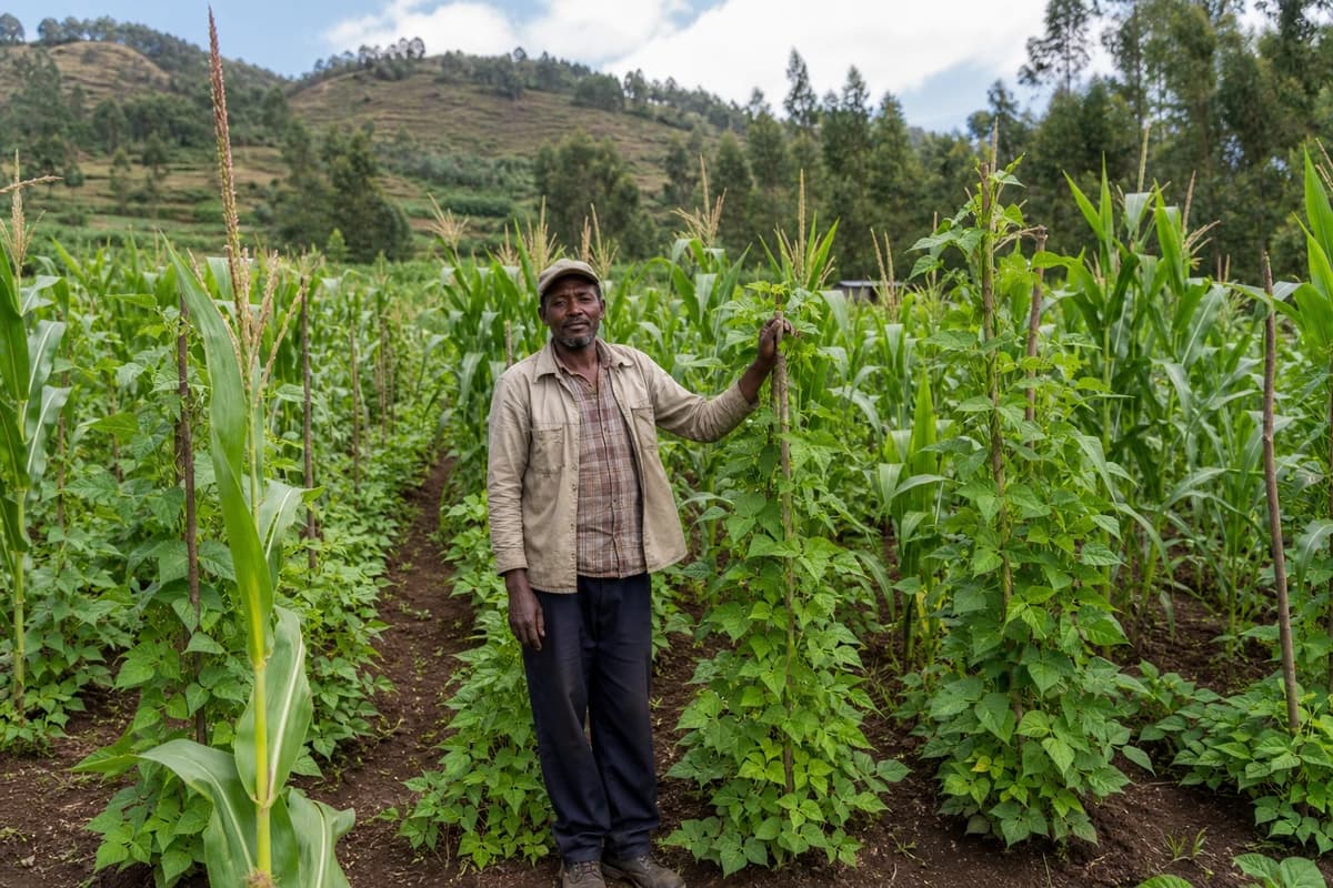
Crop production
Varieties, planting, residues and in-field crop management.
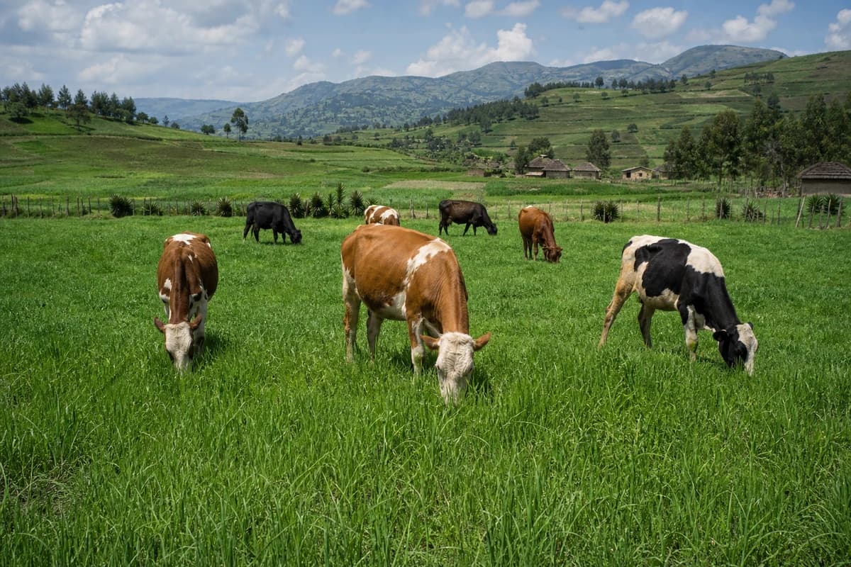
Livestock
Feed, fodder and grazing practices that fit local systems.
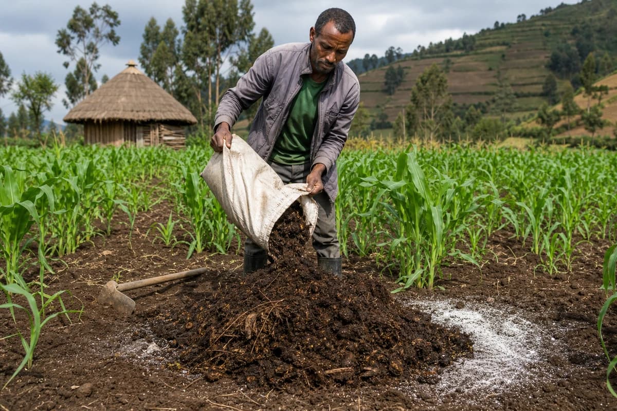
Soil fertility
Organic and mineral fertility for lasting soil health.
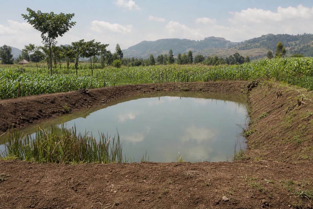
Erosion & water
Bunds, mulch and harvesting that keep soil and water on the farm.
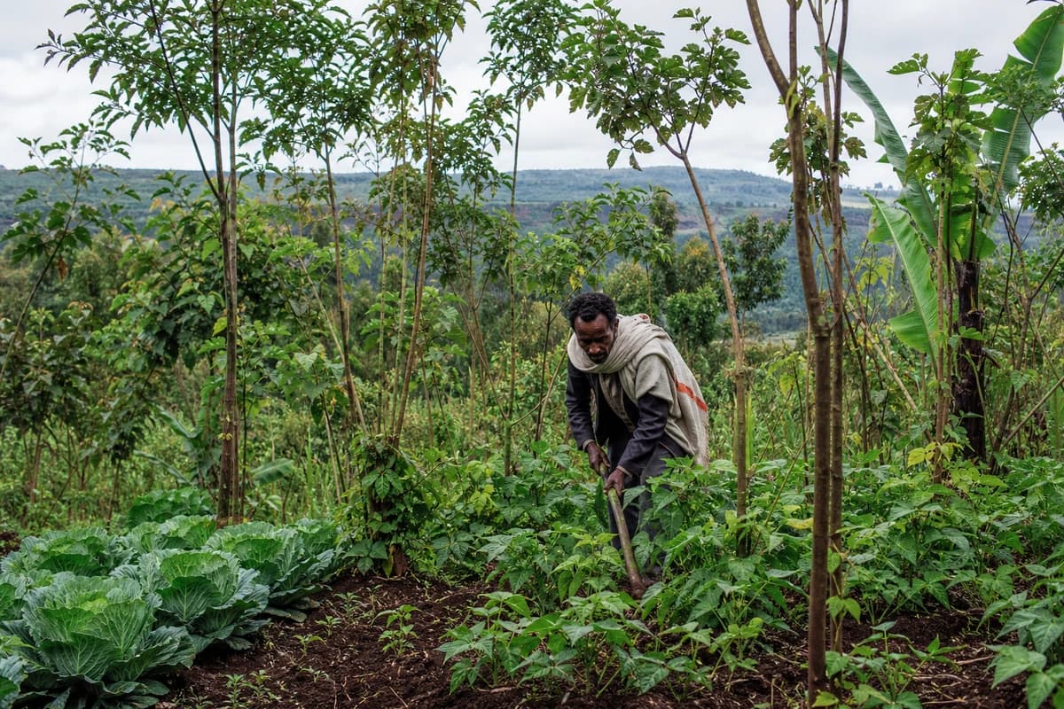
Agro-forestry
Trees with crops and landscapes that buffer climate risk.
Find the right practice for your farm
It takes about a minute: set the location, choose the challenge and goal, and see the ranked practices with the evidence behind them.